
March 23, 2021
Cenozon’s FIND
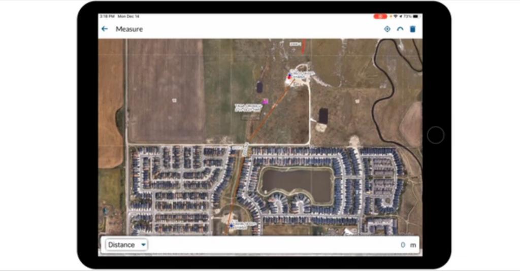
Cenozon’s FIND – Field Integration and Navigation Data – provides a complete solution for managing field operations. As a mobile app, operators can bring a interactive GIS map of their operations into the field. The application can use GPS to provide turn-by-turn directions to an asset, and once there, provide a complete workflow form. Pigging, inspections and maintenance can be completed step by step, and the data is synced to a data base. Back at the office, the web app can access all the activity data. A GIS web map can display assets, colour coded by activity completion or operational state. FIND is highly configurable, so every activity can be customized to fit your companies unique data formats and operational procedures. You can learn more about FIND here.
Contact Us To Learn More