
August 10, 2022
An Ultimate Guide to Using A GIS Mobile Solution for an Oil and Gas Company
Are you looking for a way to improve your oil and gas company’s operations? Check out our new guide on using GIS mobile solutions! Our guide will show you how to use GIS technology to make your business more efficient and productive. With GIS, you can access real-time data about your company’s operations, making it easier to decide where to drill and how to optimize your resources.
Read on to learn more about how GIS can benefit your oil and gas company.
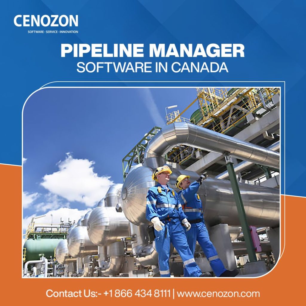
What is a GIS Pipeline Solution, and How Does it Work?
Oil and gas companies have to deal with a lot of data and information. They need to keep track of their pipelines, facilities, and equipment. A GIS pipeline solution is a mobile application that helps these companies do just that.
The app works by allowing users to input data about their pipelines, facilities, and equipment. This data is then stored in a central database. The app also has a mapping component that allows users to see where their pipelines are located.
Using a GIS pipeline solution can help oil and gas companies keep track of their assets and ensure that they are running smoothly. If you are part of an oil and gas company, consider using this type of solution to help you manage your data better.
Benefits of Choosing a GIS Mobile Solution For an Oil and Gas Company
1. Increased Efficiency and Communication
It is crucial for oil and gas firms to have a GIS mobile solution that increases efficiency and communication. With the right solution, field workers will be able to access data and information in real time, which will help them make better decisions while on the job.
Additionally, a GIS mobile solution can help improve communication between different departments within an oil and gas company. For example, if the marketing team needs to know about a new well that has been drilled, they can easily access this information through the GIS system.
2. Greater Accuracy
Oil and gas companies need to know the accurate location of their assets. A GIS mobile solution can provide this information in real-time, which is crucial for making decisions in the field.
With a GIS mobile solution, oil and gas companies can:
· View and edit data in the field
· Collect new data using GPS
· Create and view maps
· Access real-time data from the office
Oil and gas pipelines are subject to strict regulation. A GIS mobile solution can help companies meet these regulations by providing accurate data about the location of their assets.
Final Words
Cenozon’s GIS mobile solution is the best way to go for your oil and gas company. With this solution, you will be able to track your assets, monitor your operations, and make better decisions. Contact us today to learn more about our GIS mobile solution.